Integrating Esri ArcGIS Capabilities in Support of District Heating Asset Management (Krakow, Poland)
Case studies
Integrating Esri ArcGIS Capabilities in Support of District Heating Asset Management (Krakow, Poland)
Client

Industry
Local Government
Region
Europe
Technology
JavaScript, HTML, CSS
Esri ArcGIS Enterprise
Portal for ArcGIS
PostgreSQL
FME
SmallWorld
.Net Core
Client: MPEC
Location: Krakow, Poland
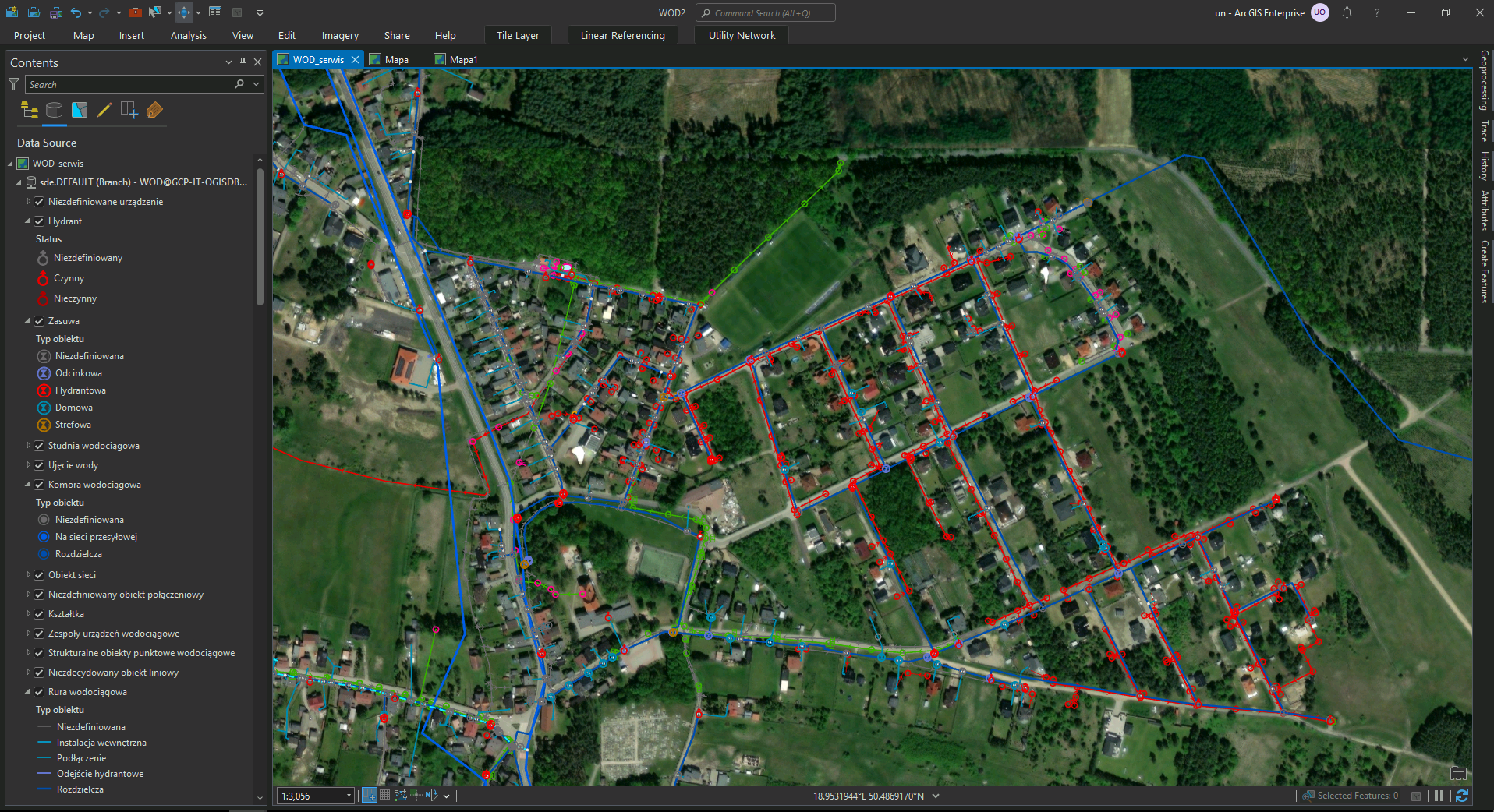
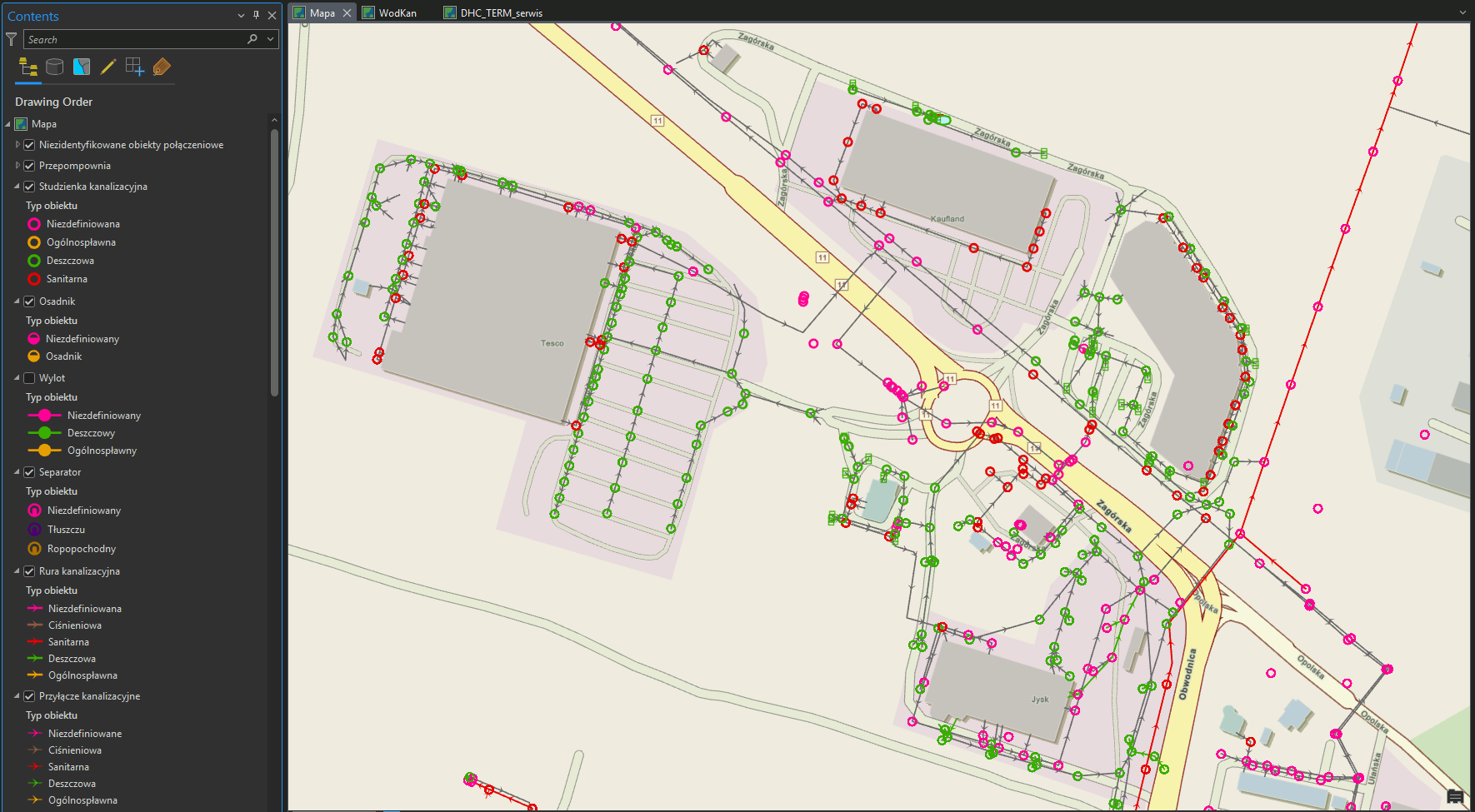
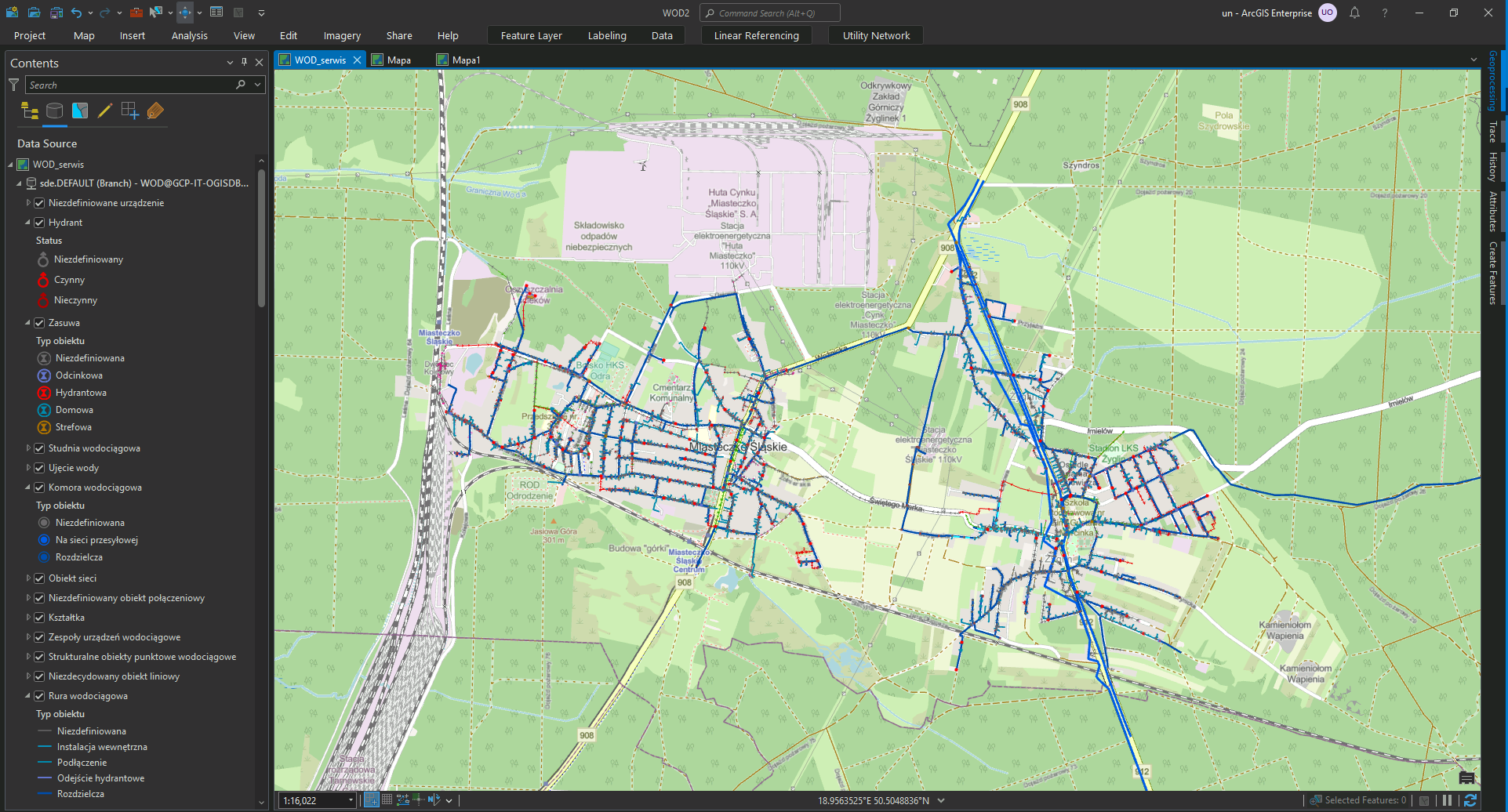
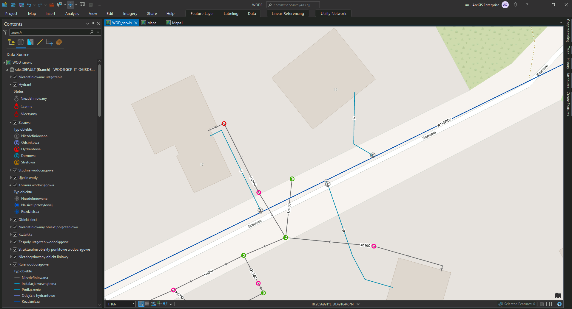
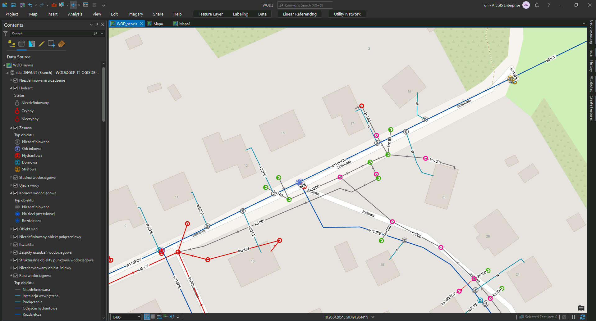
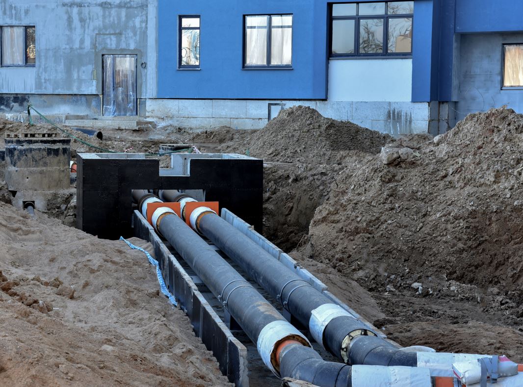
In support of MPEC (Miejskie Przedsiębiorstwo Energetyki Cieplnej) business operations and the supply of district heating to Krakow residents, GISonLine provided geospatial mobile applications and custom web portals that provided geospatial resources and capabilities to MPEC’s asset management processes.
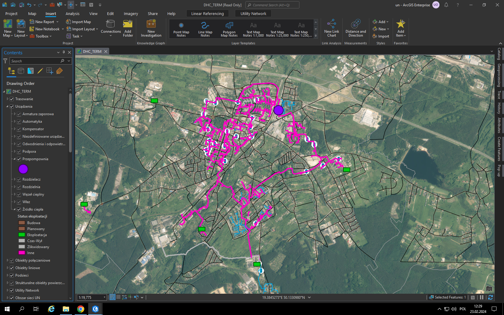
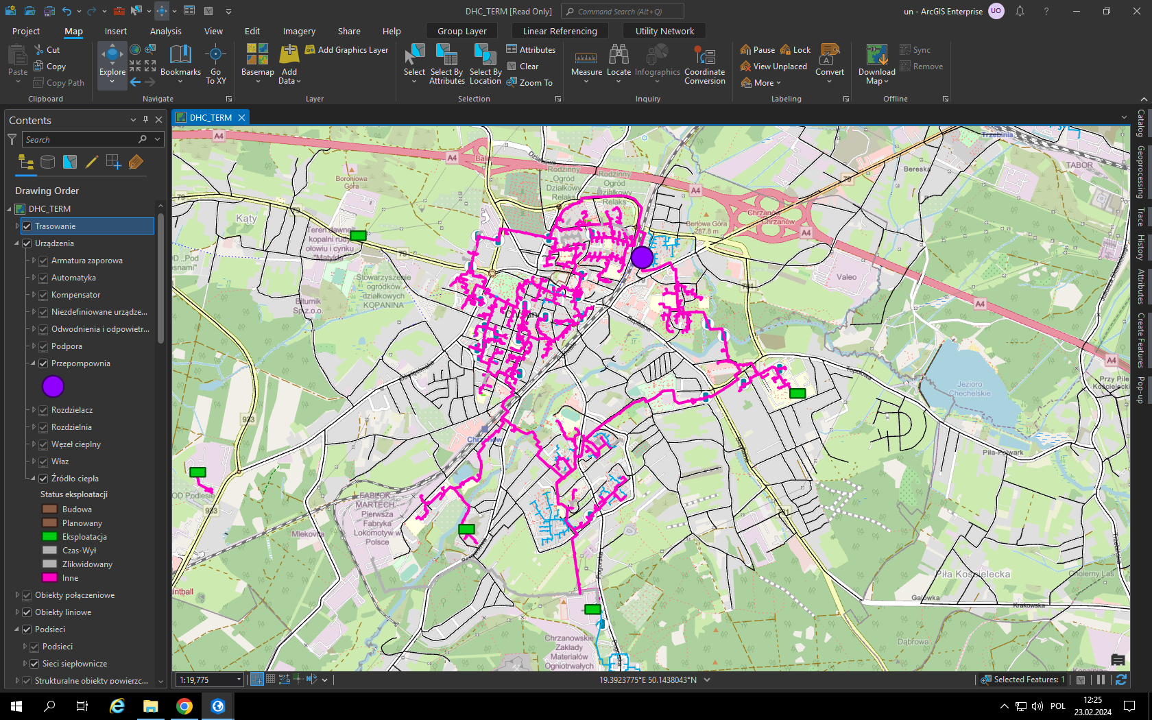
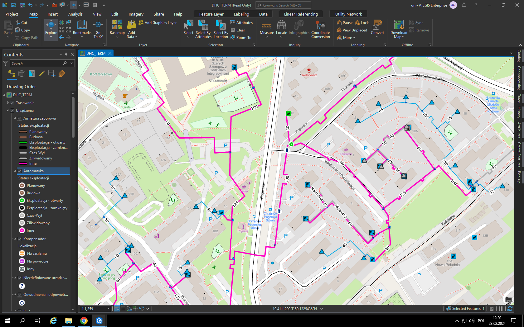
MPEC is one of the leaders in the heating industry in Poland providing heat to over 65 percent of residents in the city of Krakow. Heat from the MPEC utility network (almost 900 kilometers long) supports the heating of municipal entities such as: housing estates, shopping malls, congress halls, offices, schools, hospitals and churches.
The Impact
MPEC’s activities and infrastructure are important for the environment and addressing the city of Krakow’s air quality due to smog. Notably, the transition of gas stoves being replaced with MPEC’s central hot water system. Having a geospatial system designed for managing MPEC’s existing utility infrastructure and to serve as a tool for planning future development are key aspects of modernization and successful city planning.
The Outcome
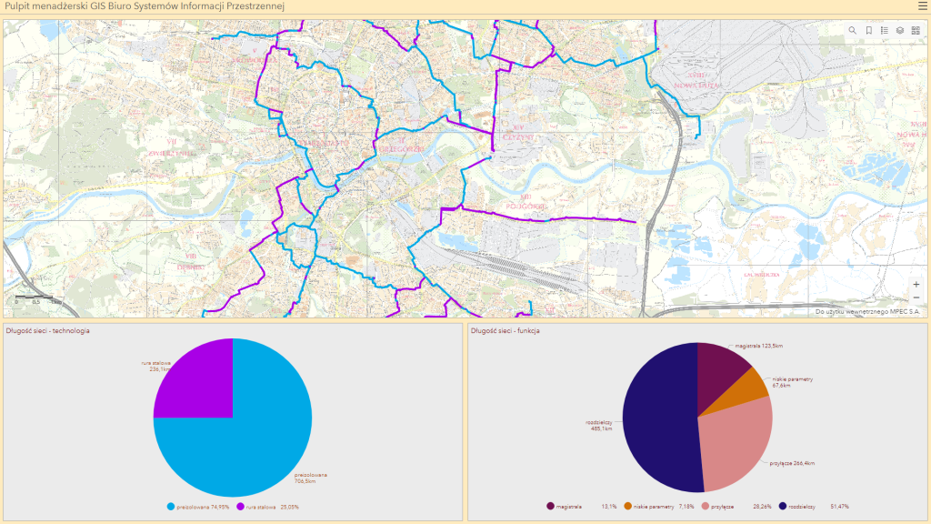
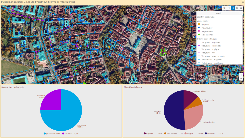
GISonLine successfully integrated the Esri ArcGIS platform into MPEC’s business operations, connected ArcGIS with authoritative data sources, and established a set of applications that supported MPEC employees with their asset management and visualization workflows. In addition, GISonLine implemented:
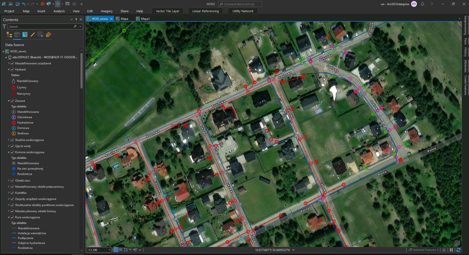
- Geospatial applications for mobile field workers conducting asset maintenance
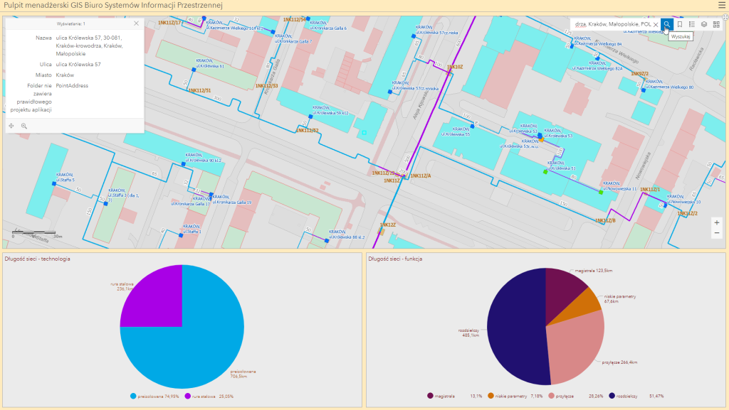
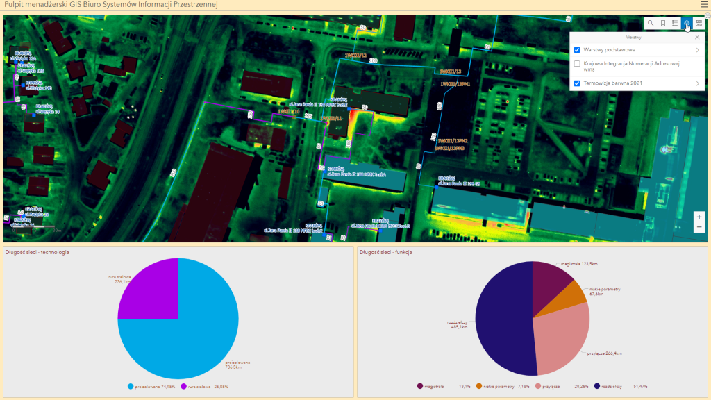
- Web based dashboards to help MPEC managers report on current data and statistics
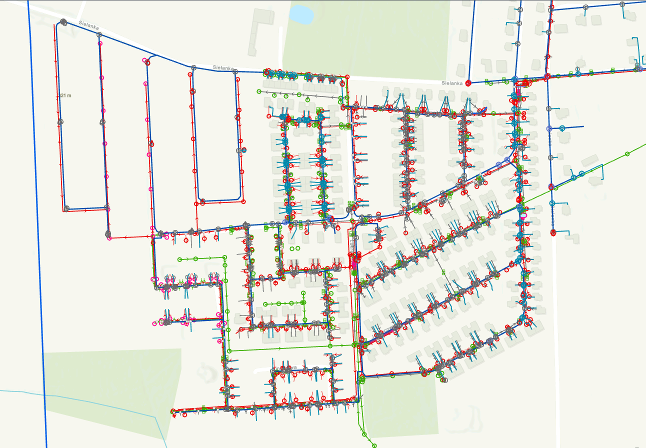
- Esri ArcGIS web applications providing geospatial tools to manage utility infrastructure and plan future development.
See some things
we’ve worked on

Contact us
Looking for Location Intelligence?