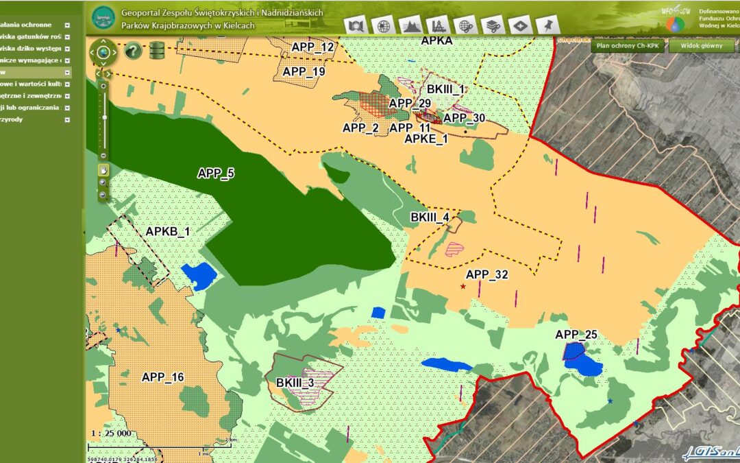
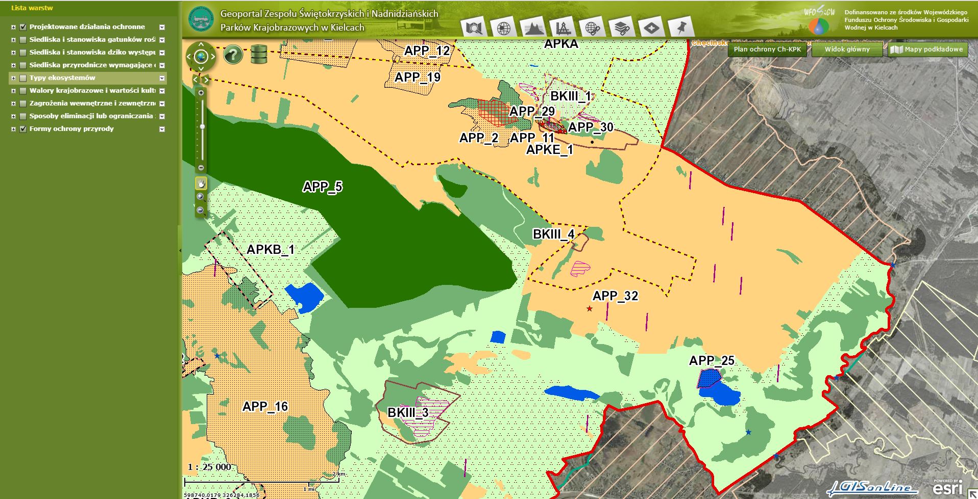
Custom Esri ArcGIS Portal For Viewing & Managing Landscape Park Assets (Świętokrzyskie Mountains, Poland)
Case studies
Custom Esri ArcGIS Portal For Viewing & Managing Landscape Park Assets (Świętokrzyskie Mountains, Poland)
Client

Industry
Consumer Applications
Environmental Management
Region
Europe
Technology
Esri ArcGIS Server
ArcGIS Pro
SQL Server
The Challenge:
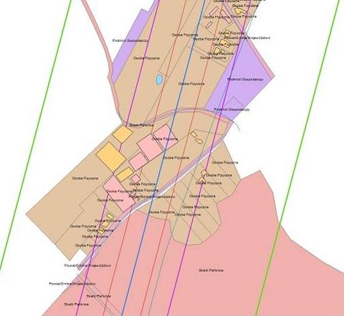
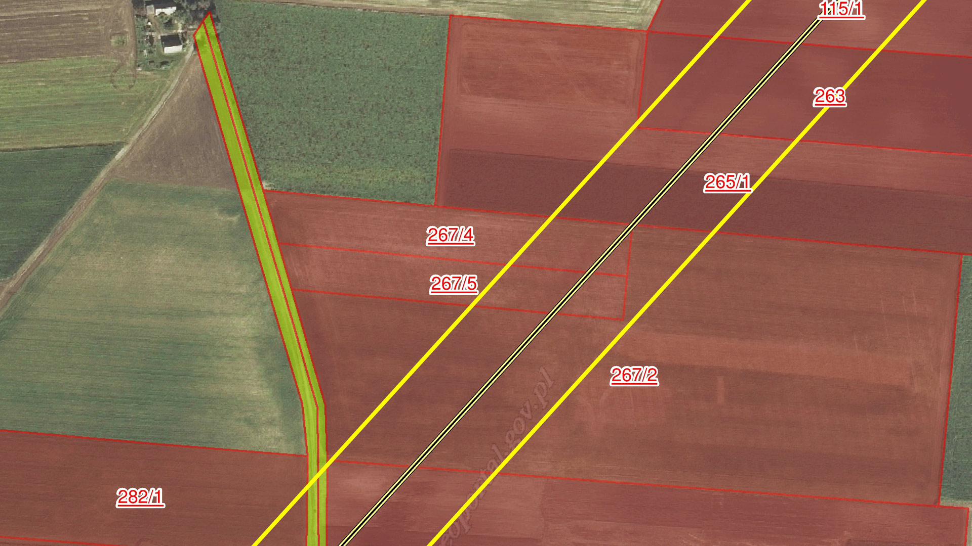
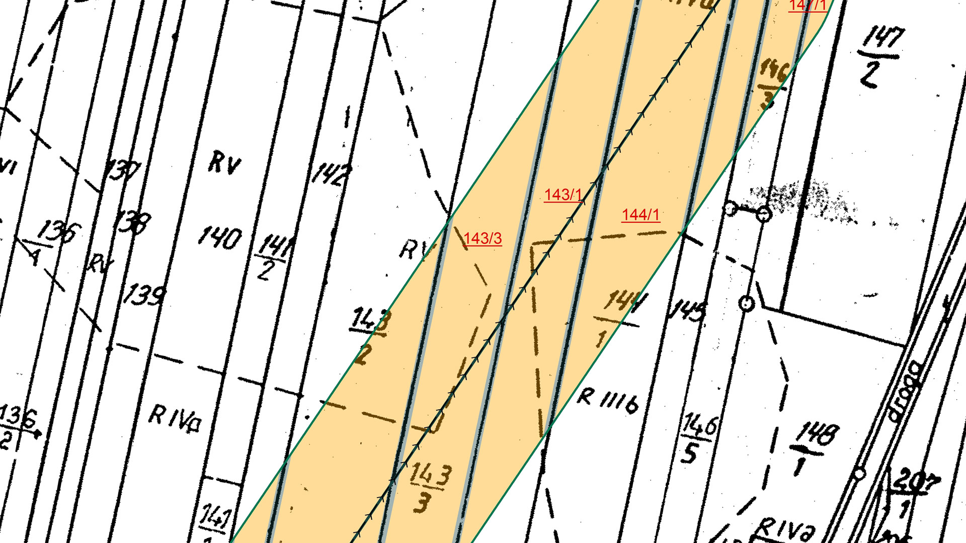
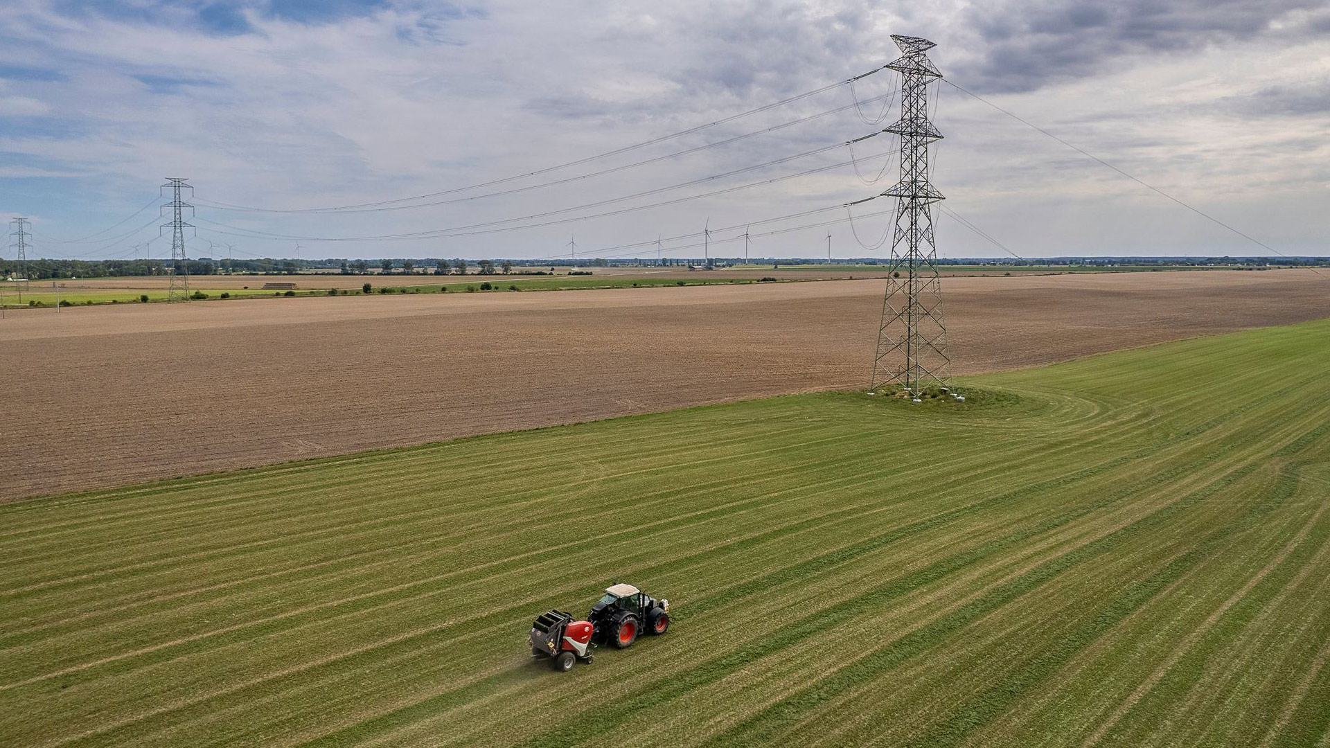
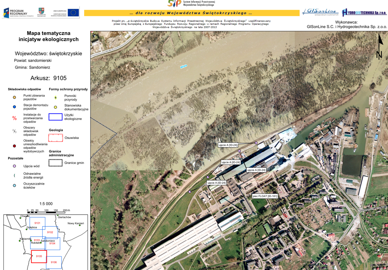
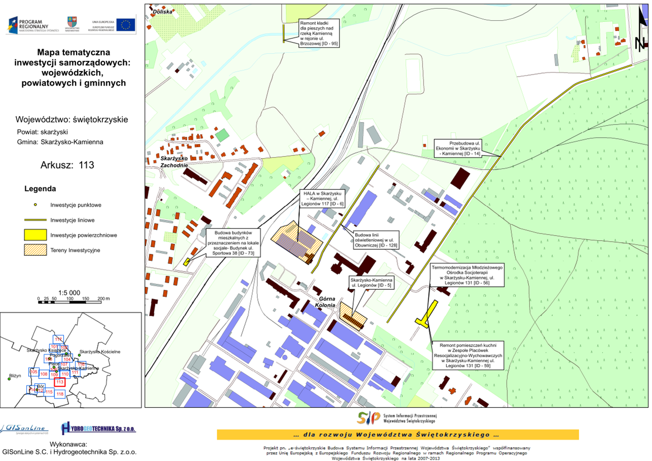
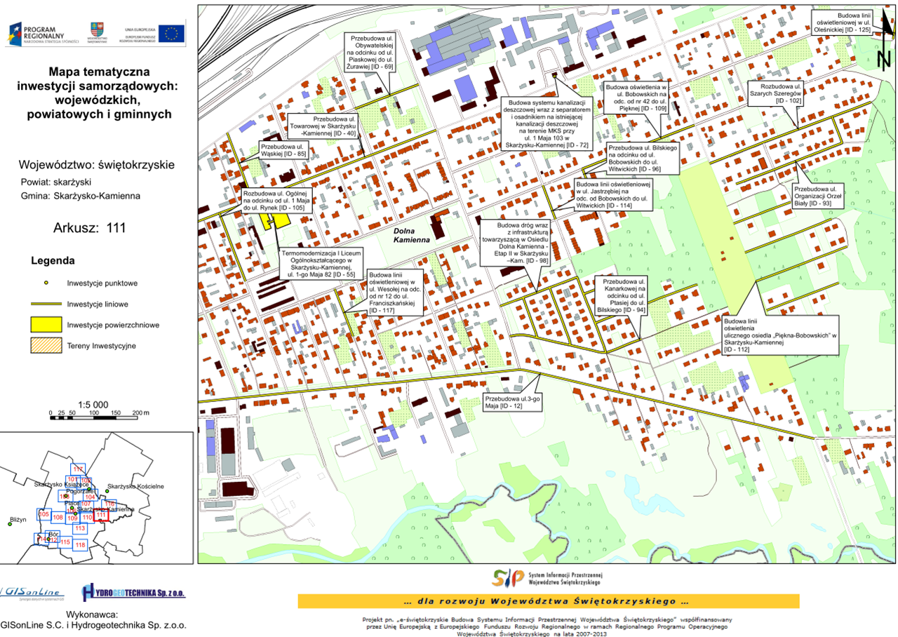
To provide employees of the Świętokrzyskie Mountains and Ponidzie landscape parks with a geospatial mapping capability that can inventory and spatially visualize the natural, ethnographic, historical, and cultural resources associated with the parks.
The Impact:
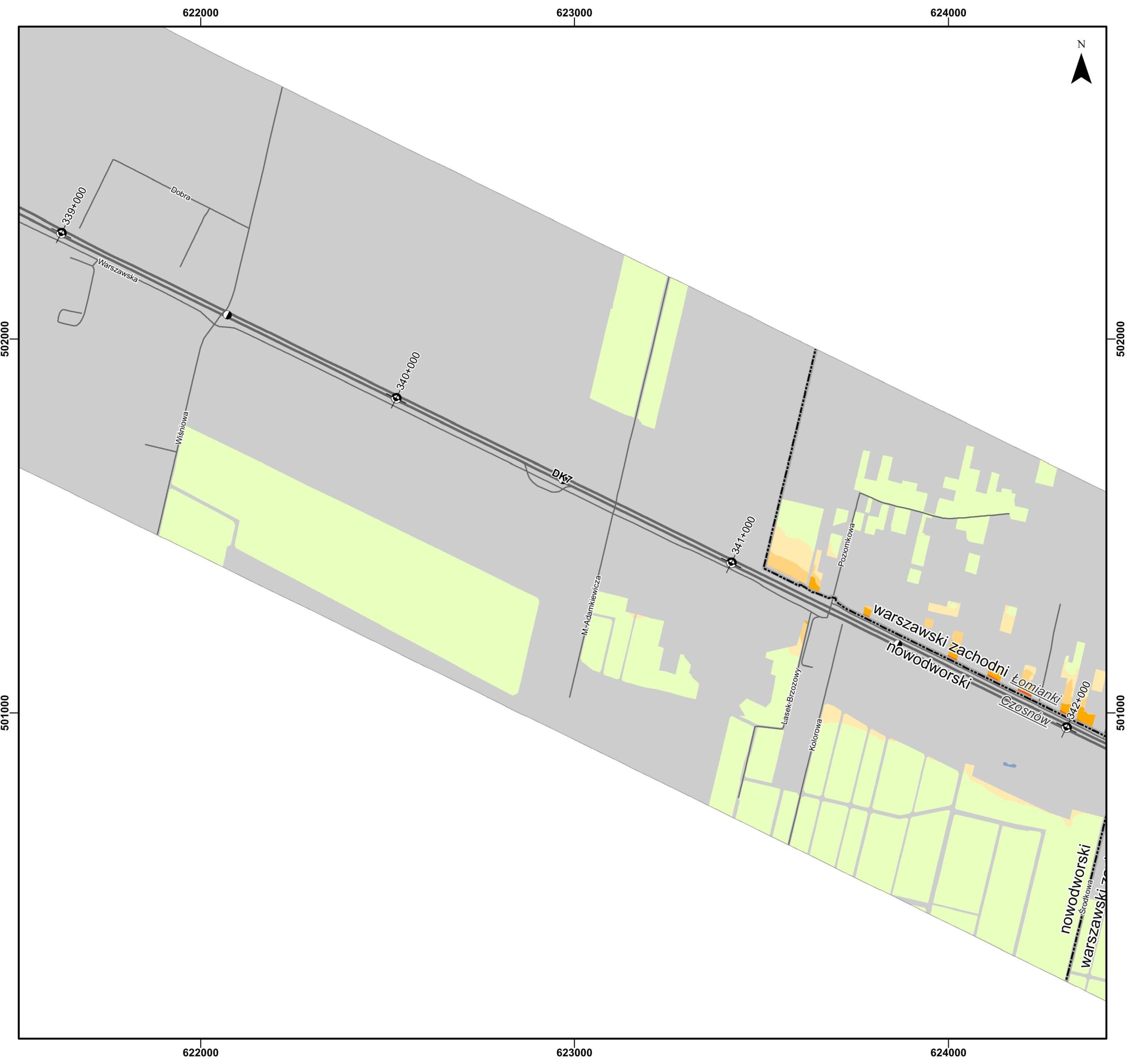
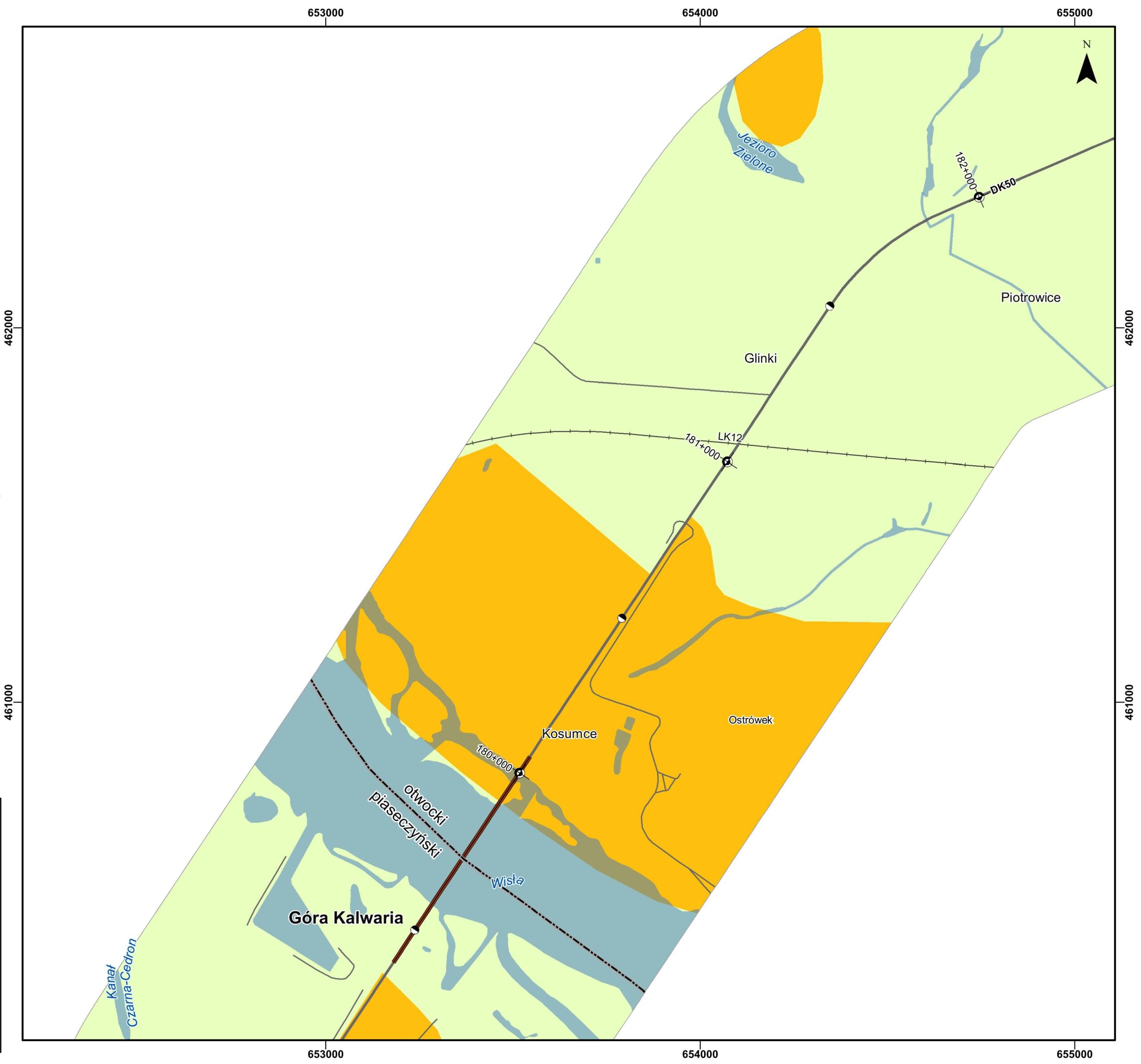
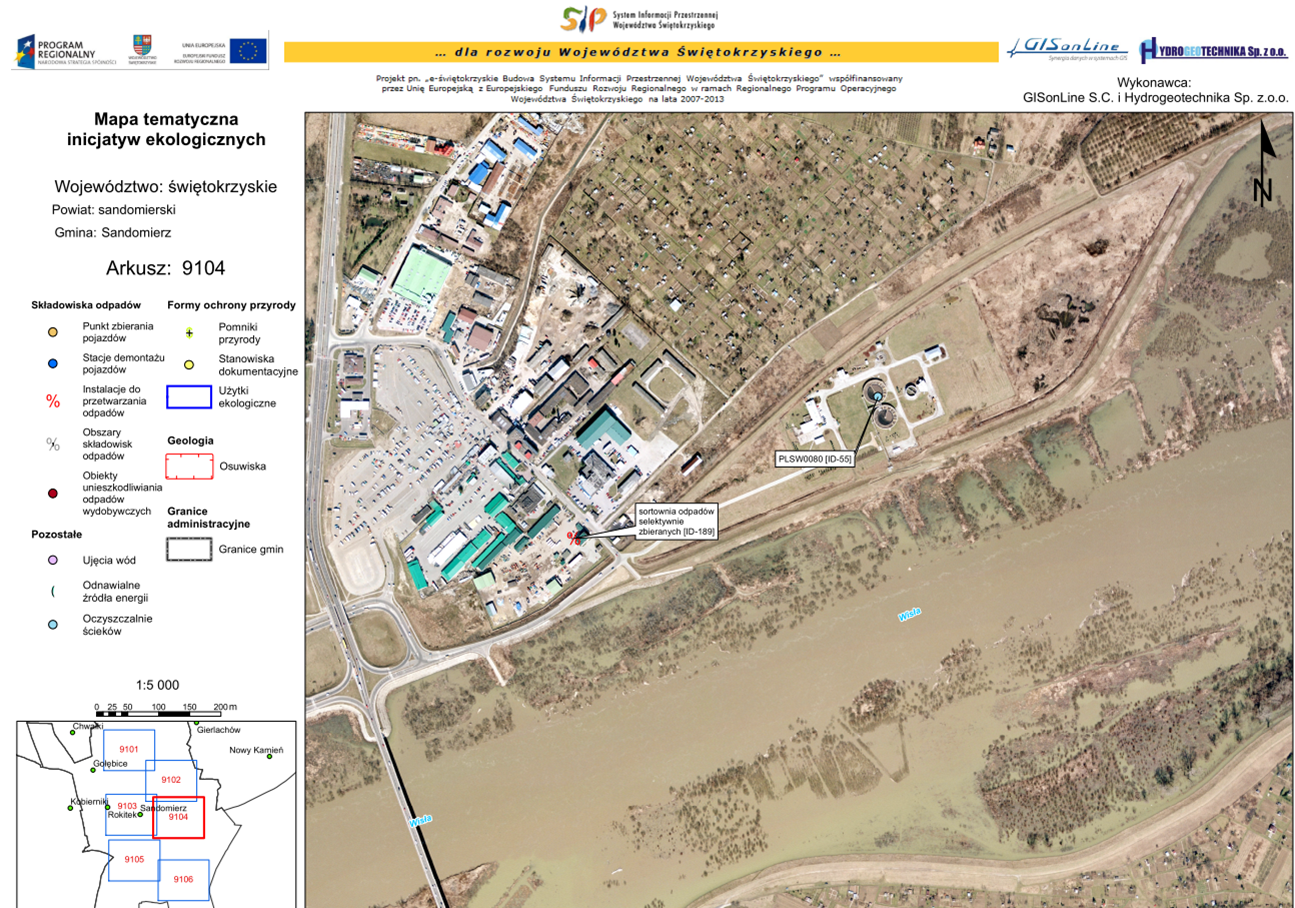
Implementation of geospatial capabilities to visualize, inventory, and manage landscape park assets and connect geospatial capabilities to data from disparate sources: imagery, park databases, and mapping data of the region. To utilize geospatial technology to support the goal of sustainable development and preserving and popularizing the natural, historical and cultural assets of the region.
The Outcome:
GISonLine successfully developed and implemented a web-based mapping application that connected to a centralized database and used commercially available imagery and data. The geospatial mapping capability enabled park employees to view, inventory, edit, and store landscape park assets. The mapping application also provided a public facing interface for site visitors to visualize the landscape region and its natural / historical features. Benefits of the solution included:
- Providing landscape data to a wide audience
- Access to multimedia data, photos, and imagery
- Enterprise data editing via centralized database
- Communication & presentation of park protection plans
See some things
we’ve worked on

Contact us
Looking for Location Intelligence?