by GISonLine | Apr 1, 2021 | Bez kategorii
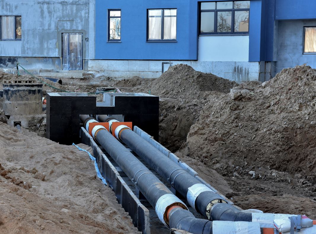
April 2021 MPEC Municipal Heating GISonLine is pleased to support MPEC with its utility network asset management and spatial analysis & visualization projects. MPEC is one of the leaders in the heating industry in Poland and currently providing heat to over 65 percent of Krakow city residents. Heat from the MPEC municipal network (almost 900 kilometers long) goes to housing estates, shopping malls, congress halls, offices, schools, hospitals and churches. The project purpose is to establish geospatial applications for MPEC’s employees to support their business operations and workflow processes:
- Applications for mobile devices supporting on-site workers with maintenance of infrastructure.
- Web-based dashboard & reporting applications to help managers follow current data and statistics
- Geospatial web applications to provide tools to manage existing infrastructure and plan future development.
Technology stack
- ArcGIS Web AppBuilder (JavaScript, HTML, CSS)
- ArcGISEnterprise: Portal for ArcGIS, ArcGIS Server, SDE database, ArcGIS
- DataStorePostgreSQL
- FME
- SmallWorld


by GISonLine | May 17, 2019 | Bez kategorii
21-22 May 2019

Say hello to the team / Attend a workshop
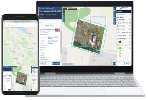
Stop by to meet our team for the second time at GEOBusiness in London. During the event we are showcasing the INSPECTonLine application.
INSPECTonLine is a web-based geospatial platform designed to manage your inspection and drone (UAV) operations and streamline your quality assurance processes.
In addition, Piotr Piech and Tomasz Gacek from GISonLine will lead a workshop entitled “INSPECTonLine a web-based application for overhead powerlines inspection and monitoring processes”.
INSPECTONLINE GRIDONLINE

by GISonLine | Feb 17, 2019 | Bez kategorii
5-7 February 2019
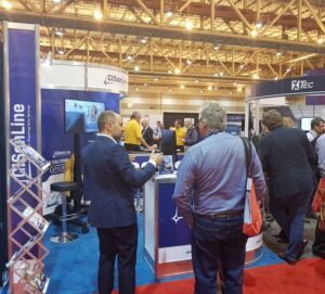
Great time in New Orleans
The DISTRIBUTECH conference was a great time had by all in New Orleans. Our booth stayed busy demonstrating key GISonLine products such as INSPECTonLine and GRIDonLine and the dedicated solutions GISonLine offers.
In addition, we’ve many questions and inquiries covering our Team as a Service support to data management, application development, and GIS systems integration as part of our geospatial services and solutions.
APP DEVELOPMENT GRIDONLINE
by GISonLine | Dec 1, 2018 | Bez kategorii
December 2018

Manage the Inspection Process
GISonLine is pleased to offer the INSPECTonLine product as part of its location technology suite. INSPECTonLine is a cloud-based geospatial platform designed to manage inspection and drone (UAV) operations and streamline quality control processes.
INSPECTonLine addresses the need to conduct quick and accurate inspections with the goal of reducing maintenance costs, improving decision support, and providing integrated data visualizations via: live drone video feeds, photos, 3D models, ESRI and CAD data.
INSPECTONLINE CONTACT US
by GISonLine | Oct 17, 2018 | Bez kategorii
19 October 2019

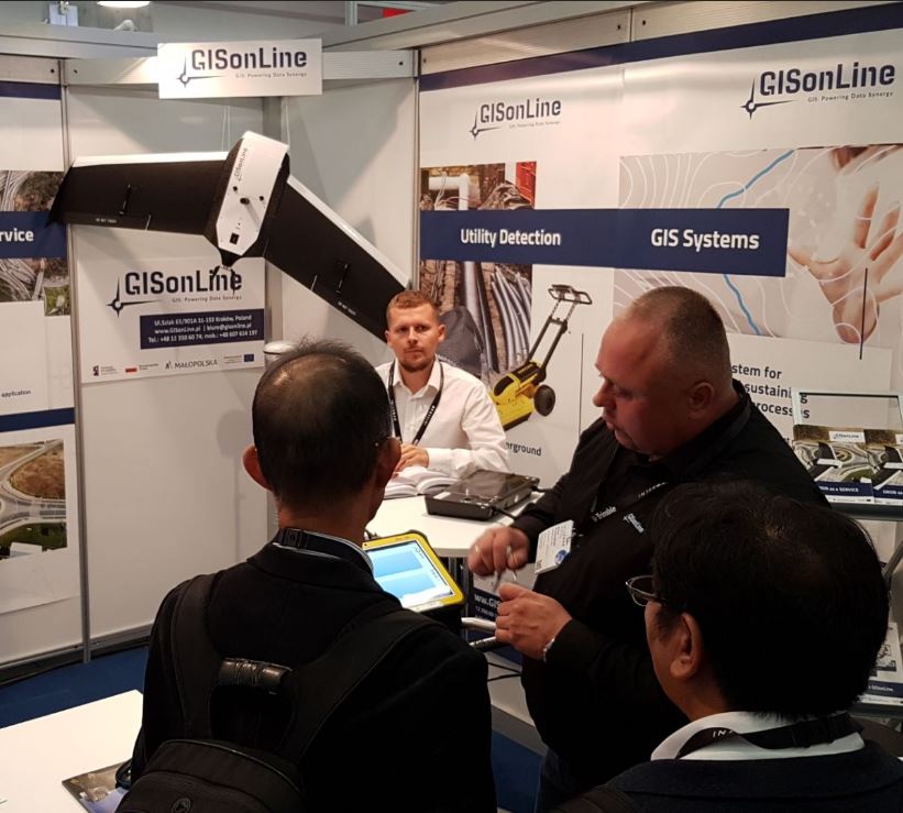
Booth Crowds & GPR
The GISonLine booth drew a lot of attention as our director of underground surveying explains the use of ground penetrating radar (GPR) using the latest equipment and methods of detection.
Underground infrastructure detection is a surveying process that uses specialized equipment such as GPR and Electro-Magnetic Locators (EML) to create a digital representation of what is buried underground.
GISonline also presented methods of creating 3D models of underground utilities, which provides an accurate model and detailed visualization of underground utility assets. 3D geometric models of underground utilities changes the way you visualize and interpret data and allows end-users see all aspects of a project site.
Survey & Inspection | Underground Detection

by GISonLine | May 24, 2018 | Bez kategorii
May 2018

From 22-23 May 2018, we will be at the GEOBusiness conference in London. This is a geospatial event for everyone involved in the gathering, storing, processing and delivery of geospatial information. Stop by the GISonLine booth to say hello to the team.
We will be presenting and demonstrating our underground detection and aerial inspection services using the latest Ground Penetrating Radar (GPR) and Drone technologies.
UNDERGROUND DETECTION