GIS  EAM Systems Integration for Northern Ireland Electricity Networks

GIS <> EAM Systems Integration for Northern Ireland Electricity Networks

Home 9 Project Category: GIS System Integration

Case studies

GIS <> EAM Systems Integration for Northern Ireland Electricity Networks

Client

Industry

Energy & Utilities

Region

Northern Ireland / Europe

Technology

ArcGIS Enterprise
IBM Maximo
REST
Python

Overview & Purposes

Client: Northern Ireland Electicity Networks

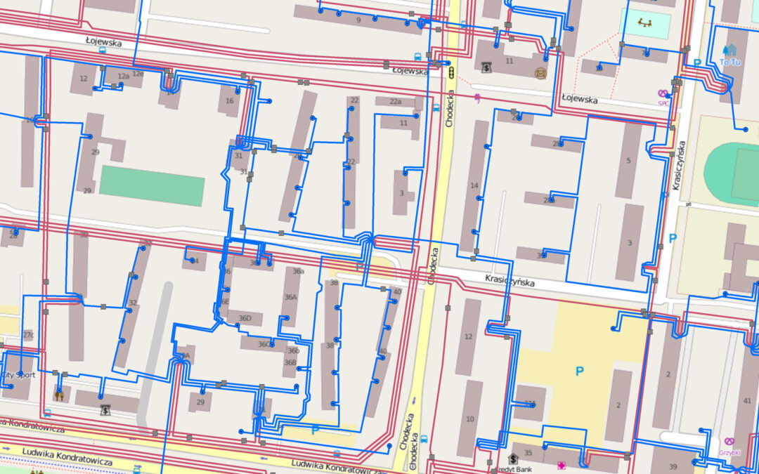
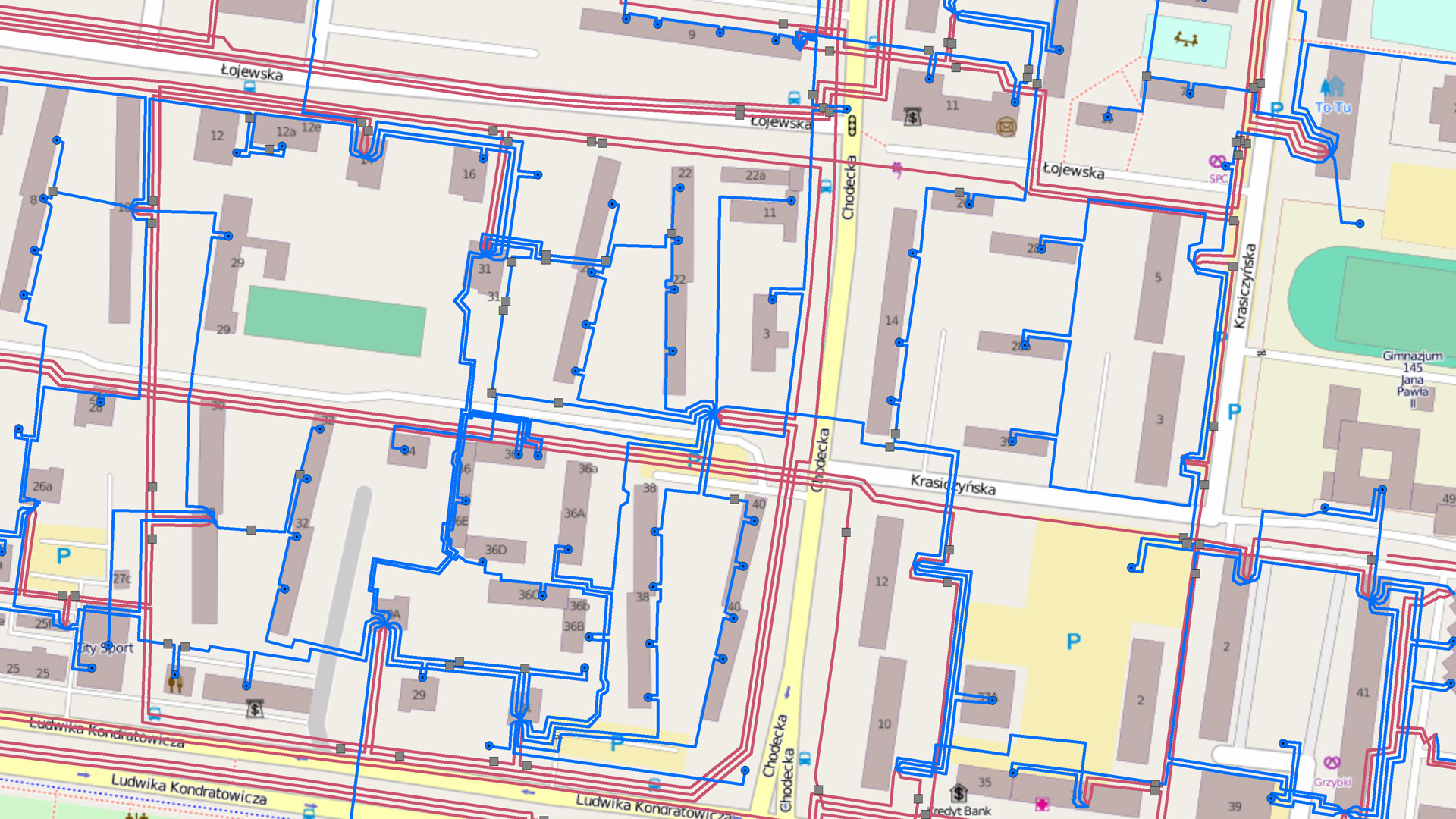
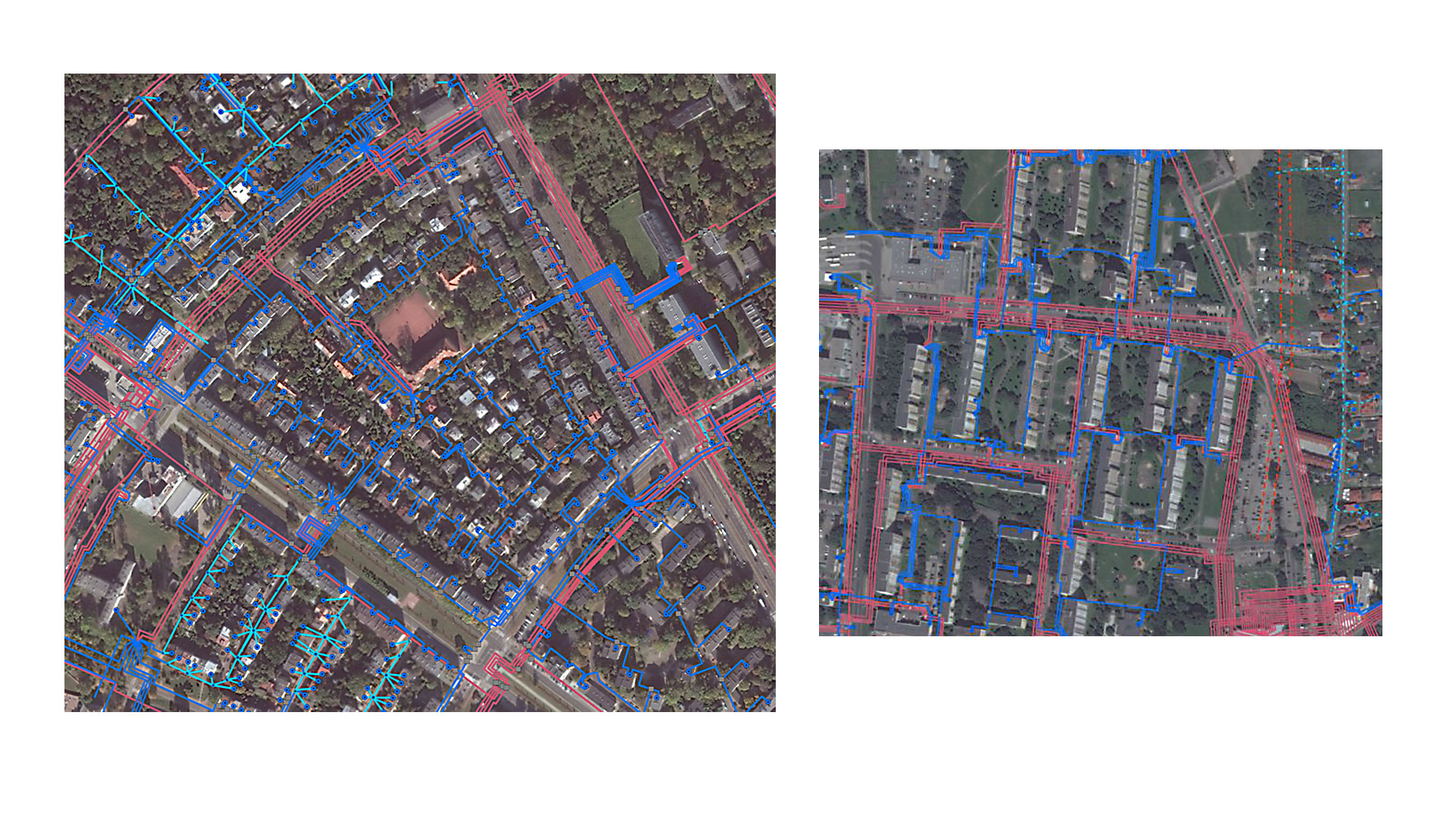
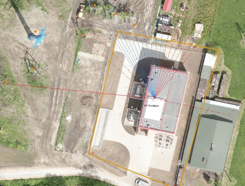
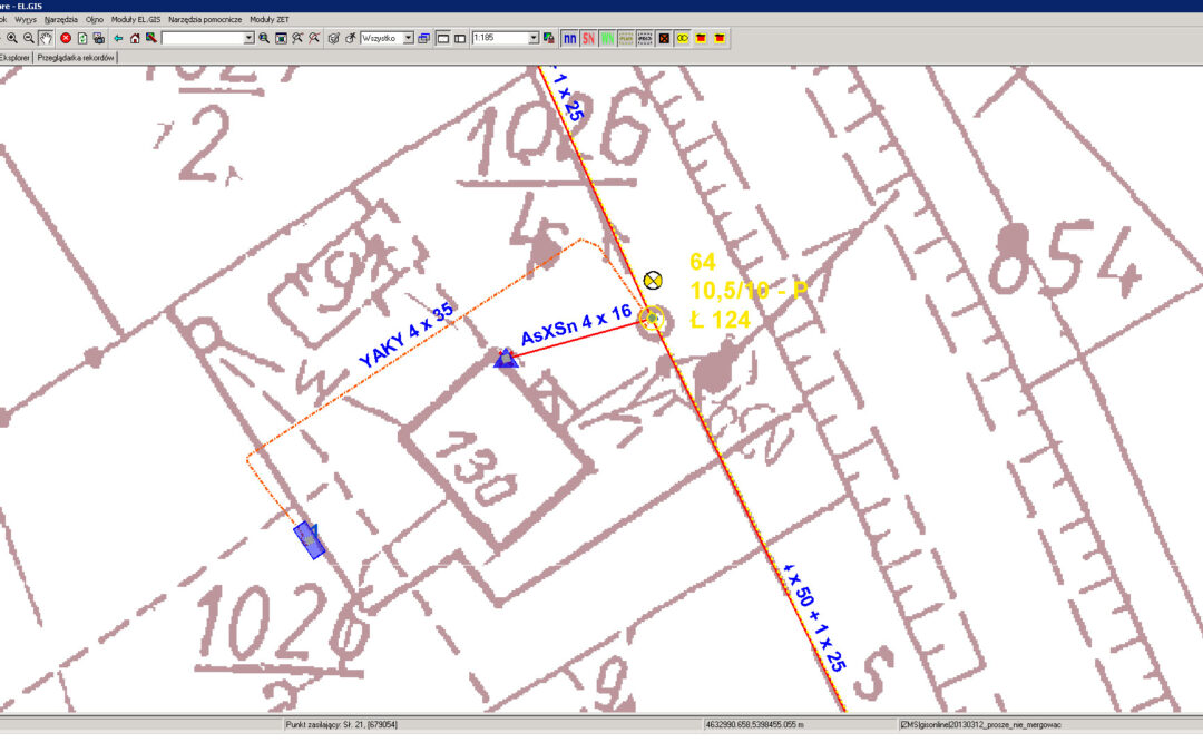
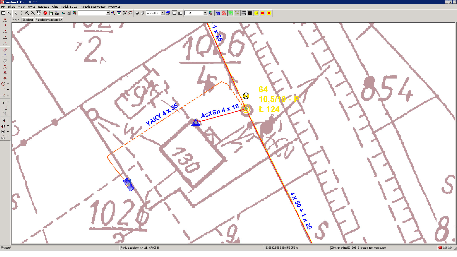
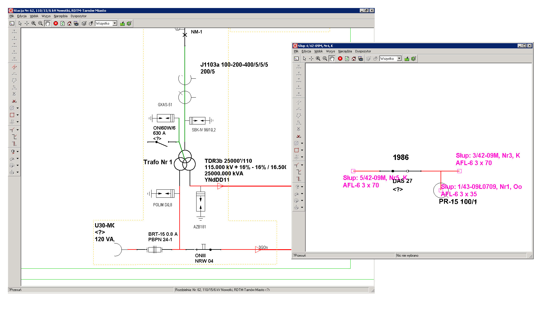
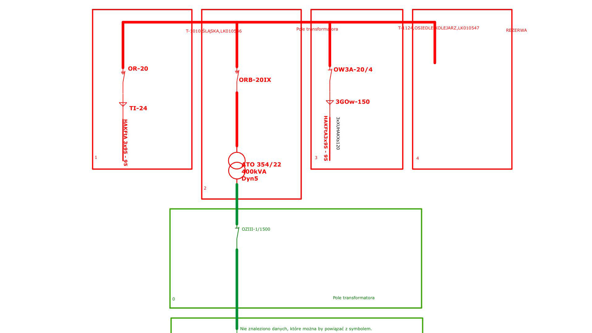
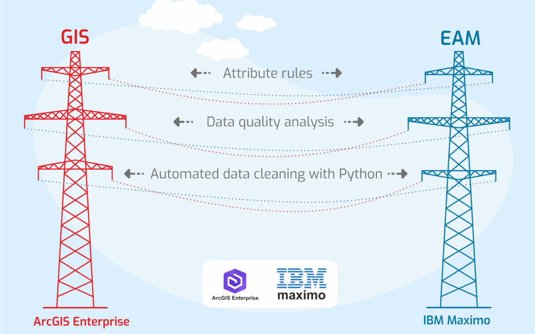
GISonLine participated in a key stage of the digital transformation of the Northern Ireland Electricity Networks, the electrical power provider for Northern Ireland. As a partner of Cohesive, we delivered systems integration services between the asset management system IBM Maximo and ESRI ArcGIS Enterprise, which was in the process of being implemented.

The project aimed to ensure a smooth flow of information between the two systems and to provide access to financial attributes of assets—managed within the EAM system—for the GIS-class system, which offers more precise spatial information about asset locations.
Among other benefits, achieving this milestone paves the way for further GIS development within this critical infrastructure enterprise.

The Outcome

The GIS <> EAM integration involved the following steps:

  • Designing the separation of data managed by each system
  • Defining attributes for synchronization and sharing
  • Identifying key attributes that link the new GIS and EAM databases
  • Defining attribute rules
  • Publishing REST services, including symbolization, class mapping, and attribute mapping

Additionally, data quality control procedures were implemented:

  • Data analysis focused on quality and data linking
  • Automated data cleaning using Python

See some things

we’ve worked on

Contact us

Looking for Location Intelligence?

13 + 9 =

Power Grid Inventory & Automated Data Migrations for Electrical Utilities Network (Innogy)

Power Grid Inventory & Automated Data Migrations for Electrical Utilities Network (Innogy)

Home 9 Project Category: GIS System Integration

Case studies

Power Grid Inventory & Automated Data Migrations for Electrical Utilities Network (Innogy)

Client

Industry

Energy & Utilities

Region

Europe

Technology

ESRI – ArcGIS Server
GE Smallworld
Safe Software – FME
.NET
Python – Arc.py

Client: Innogy
Location: Poland

GISonLine participated in the implementation of the power grid inventory and data migrtations in support RWE IT Polska utilities provider (now Innogy). The scope of work included professional GIS services to include consultations in the field of passporting, data migration, quality control and programming services. 

The Impact

As part of the work, GISonLine established project management oversight and the creation of technical and project documentation that included:

  • Project schedules and milestones
  • Data migration strategy
  • Inventory methodology
  • Data cleaning strategy
  • Data quality assurance and quality control methods

The outcome

GISonLine successfully formalized and executed the data migration, data cleaning, and data quality control plans. Through these efforts, GISonLine established a set of dedicated software tools designed specifically to automate the quality assessment and control processes of Innogy’s enterprise utility asset data. The project also included delivery of system integration plans to migrate from GE Smallworld to targeted Esri ArcGIS environment. 

See some things

we’ve worked on

Contact us

Looking for Location Intelligence?

6 + 14 =

Maximizing the Value of GIS by Integrating Esri ArcGIS with IBM Maximo and SAP Systems

Maximizing the Value of GIS by Integrating Esri ArcGIS with IBM Maximo and SAP Systems

Home 9 Project Category: GIS System Integration

Case studies

Maximizing the Value of GIS by Integrating Esri ArcGIS with IBM Maximo and SAP Systems

Client

Industry

Energy & Utilities

Region

Europe

Technology

ESRI – ArcGIS Server
IBM Maximo
SAP Process Integration
SAP Orchestration
.NET Framework
WSDL
SOAP
REST

Overview

GISonLine was pleased to take part in the project of maximizing PKP Energetyka’s investments in geospatial technologies by integrating their geospatial mapping platform with existing business systems in support of utilities enterprise asset management (EAM).  

The goal of the project was to support PKP’s EAM processes through enabling a seamless flow of information between core business systems and the Esri ArcGIS geospatial platform.  Specifically, the goal was to integrate the ArcGIS Server to enable data exchanges between the following systems:

  • IBM Maximo (Asset Management)
  • SAP (Financial Management)
  • SCADA (Supervisory Control and Data Acquisition) 

The Impact

GISonLine established documentation and performed analysis pertaining to each system’s data storage scheme, system functions, web services, and required data exchanges, which guided the integation and planning efforts.  A primary focus was to achieve secure connections to PKP’s existing enterprise service bus and enable access for querying and pulling utilities asset information from the IBM Maximo asset and SAP financial systems.

The outcome

GISonLine completed the ArcGIS systems integration, which included successful connections to PKP’s Enterprise Service Bus.  Through the integration of the ArcGIS platform with IBM Maximo and SAP financial systems, an integrated enterprise asset management operating picture was established.  This allowed PKP employees and asset managers the ability to spatially visualize the location of utility assets with detailed attribute & finanical information and to ensure work orders refer to their correct asset.

The integration of the Esri ArcGIS Server with the IBM Maximo and SAP systems supported core PKP business processes and cross-domain data integrations that spanned across enterprise asset management, geospatial utilties mapping, document management, and financial management workflows.

See some things

we’ve worked on

Contact us

Looking for Location Intelligence?

14 + 13 =

Transitioning from GE Smallworld to Esri ArcGIS for Utilities Asset Management (Tauron Dystrybucja SA)

Transitioning from GE Smallworld to Esri ArcGIS for Utilities Asset Management (Tauron Dystrybucja SA)

Home 9 Project Category: GIS System Integration

Case studies

Transitioning from GE Smallworld to Esri ArcGIS for Utilities Asset Management (Tauron Dystrybucja SA)

Client

Industry

Energy & Utilities

Region

Europe

Technology

ESRI – ArcGIS Server
GE Smallworld
Safe Software – FME
.NET
Python – Arc.py

Overview

As part of the implementation of the Integrated Network Asset Management System for Tauron Distribution SA (European utility provider), the aim of the project was to transition TAURON from their legacy asset management system (GE Smallworld) to the Esri ArcGIS platform.  In addition to the Esri ArcGIS system implementation, the goal was to perform enterprise data migrations of Tauron’s electric distribution network of assets into the new ArcGIS environment. 

The Impact

To ensure the utilities data migration was successful, GISonLine developed a methodology for the migration of data using Extract, Transform, and Load (ETL) software, which automated complex data conversions and guaranteed repeatability of the conversion and migration processes. The data migration of Tauron’s utility assets included:

  • 33 000 kilometers of utility assets
  • 8000 power stations
  • 300 000 utility poles
  • 180 000 junction points.

The Outcome

Tauron maintained critical business operations while successfully transitioing from GE Smallworld to the Esri ArcGIS environment.  The enterprise data migration process utilized a formalized methodology to ensure data conversions were complete and compatible with Esri ArcGIS data models.  The Esri system implementation and data transformation enabled TAURON to operate on a modern and up-to-date geospatial platform that supports business operations for managing an enterprise distrubtion and transmission utilities network.

See some things

we’ve worked on

Contact us

Looking for Location Intelligence?

11 + 6 =

Customizing an Esri ArcGIS Solution in Support of Utilities Asset Management (PKP Energetyka)

Customizing an Esri ArcGIS Solution in Support of Utilities Asset Management (PKP Energetyka)

Home 9 Project Category: GIS System Integration

Case studies

Customizing an Esri ArcGIS Solution in Support of Utilities Asset Management (PKP Energetyka)

Client

Industry

Energy & Utilities
Transportation

Region

Europe

Technology

Esri ArcGIS Server
.NET
SQL Server Spatial
JavaScript
REACT/REDUX

Overview

The goal of this project was to transform PKP Energetyka (European utility provider) asset management processes using modern geospatial capabilities in support of the supply, management, and delivery of electric distribution for railway transportation. In addition, the requirements were to establish a centralized repository of PKP’s geospatial assets that would support utility asset analysis, communications, and mapping products.

The Impact

GISonLine outlined the system integration plans and implementation for the GRIDonLine product, which is a custom Esri ArcGIS enterprise mapping system for the inventory, cataloging, and classification of utility assets.  The project impact included the cataloging and inventory of assets covering a 20K kilometer area of ​​PKP utility infrastructure.

The Outcome

GISonLine performed a successful digital transformation of PKP Energetyka’s asset management processes and technology upgrade with implementation of the GRIDonLine custom Esri solution designed by GISonLine. The GRIDonLine solution addressed the complexity of formalizing and managing PKP’s railway utility distribution networks.

With over 800 users connecting to the GRIDonLine platform, visualization of PKP Energetyka assets and their details can be communicated and visualized across the enterprise and managed via the centralized repository.

See some things

we’ve worked on

Contact us

Looking for Location Intelligence?

7 + 1 =