Case studies
Underground Detection, Laser Scanning and 3D Modelling Supporting Expansion of one of the Key Polish Medical Centers
Client
Large public hospital
Industry
Survey & Inspection
Region
Wrocław – Polska / Europa
Technology
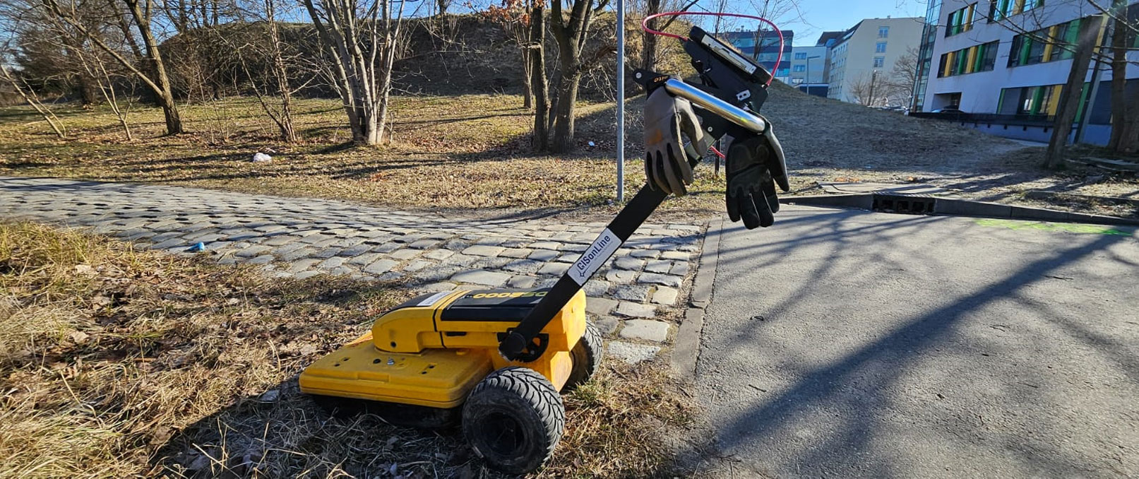
GPR (Ground-Penetrating Radar) Leica DS2000, EML, Lidar, PAS128 methodology – M4P type, Civil 3D, CAD
Overview
Client: Large public hospital
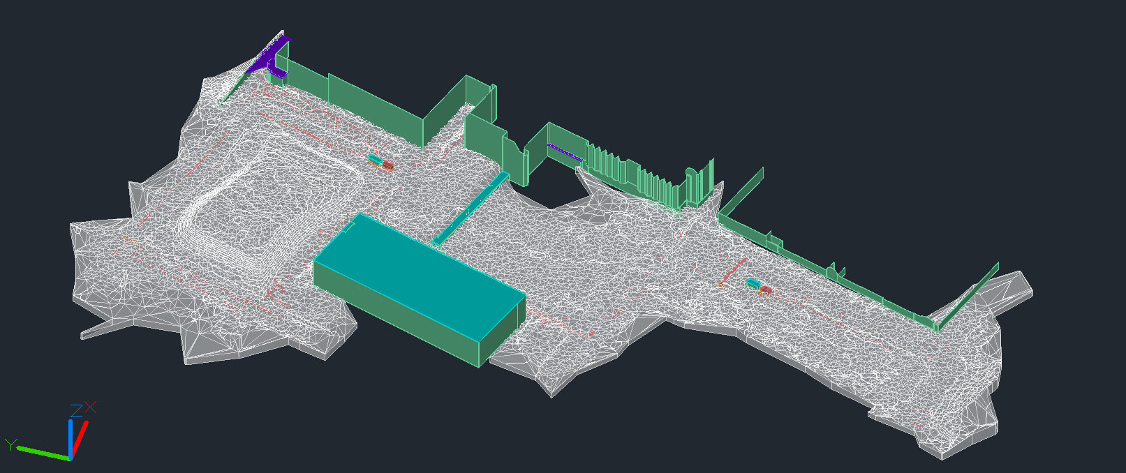
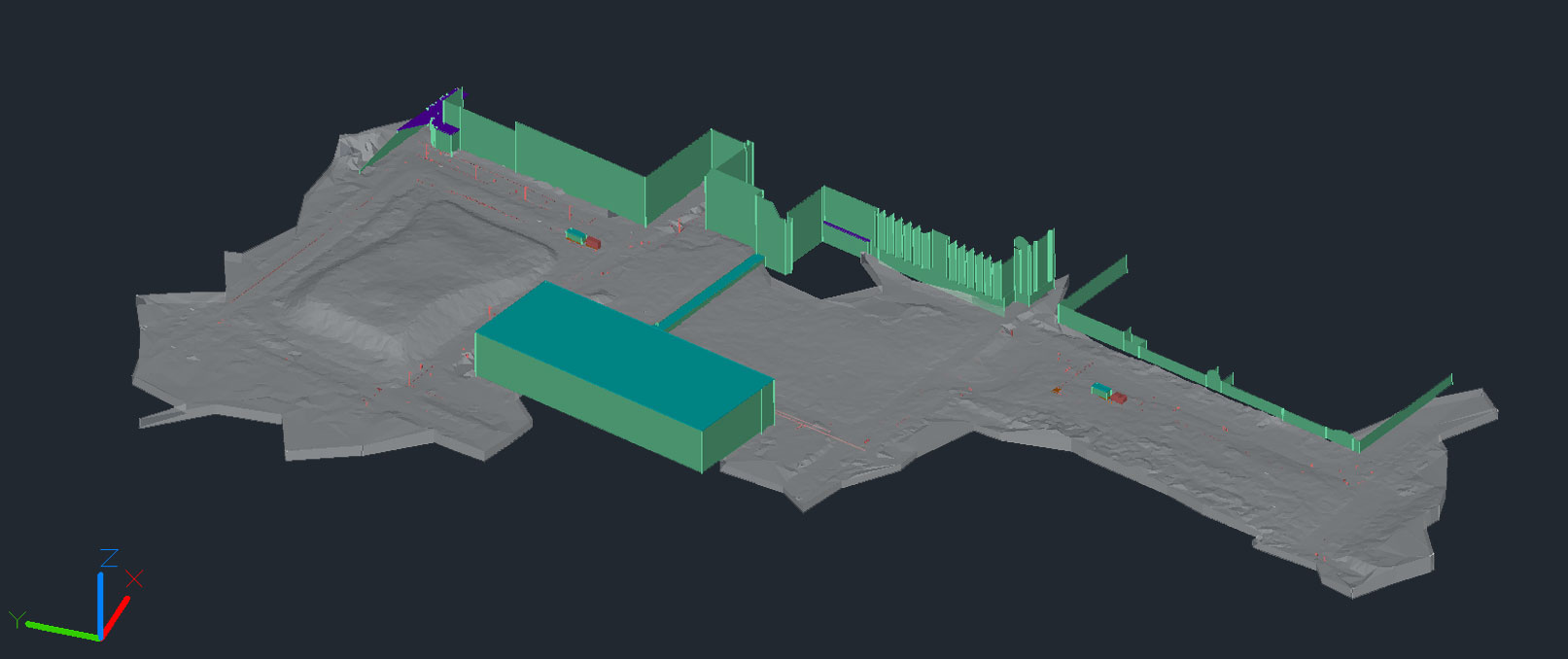
GISonLine supported an important project of expansion of one of large public hospitals located in Wrocław (Poland), by delivering a comprehensive service of underground utility detection, ground laser scanning and 3D modelling (Digital Twin / BIM).
The project framework covered:
- Fieldwork, including laser scanning of the site without entering any buildings;
- Processing of laser scanning results in the form of a point cloud and a virtual walkthrough – 360° panoramas;
- Underground utility detection, including ground-penetrating radar (GPR) surveys involving data acquisition and processing over an area of approximately 11,000 m²;
- Interpretation, drafting, and reporting of underground utility detection results in compliance with PAS 128, M4P (the most advanced) type;
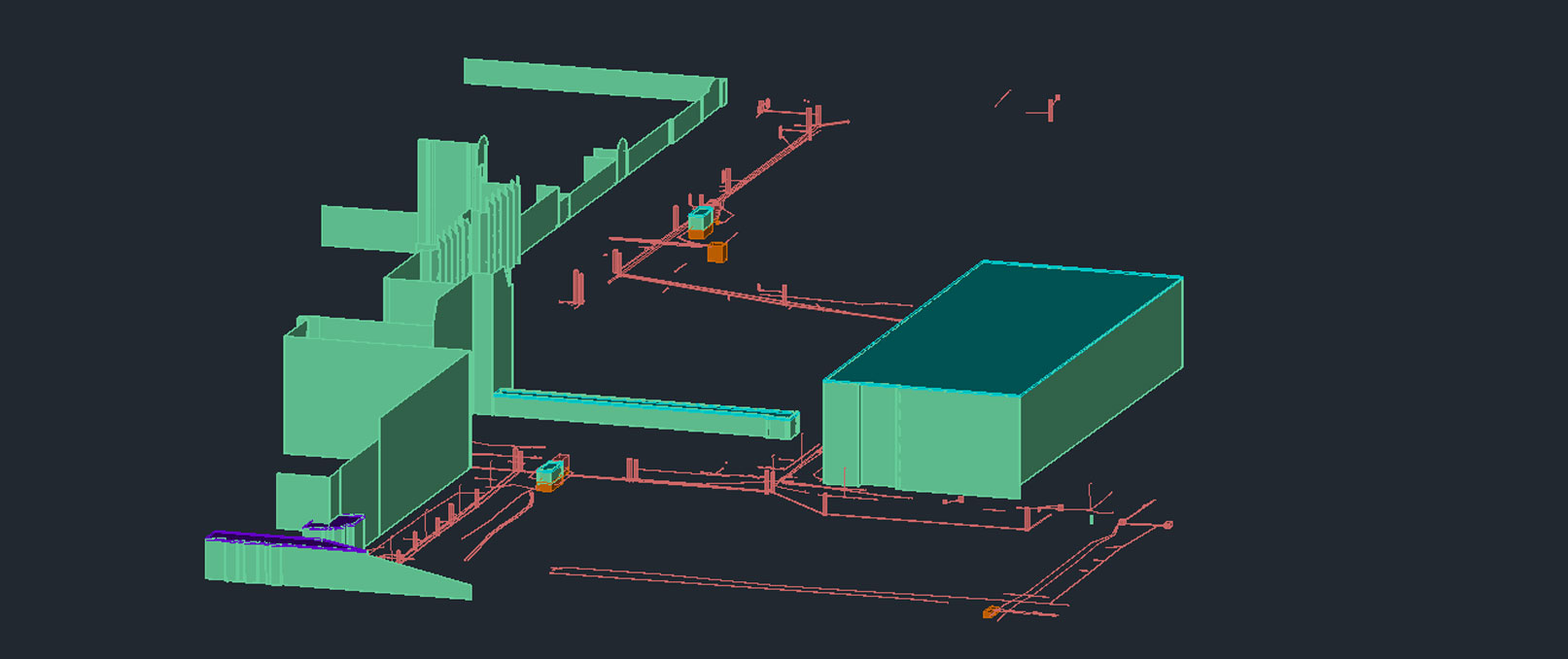
- Correction of the existing infrastructure model (manholes, pipes, electrical cables) based on the point cloud and GPR survey results;
- Modeling of field survey results (including GPR data) and development of a 3D underground infrastructure model in DWG format and a 3D model in Civil 3D software.
